Eastern Way
Nisa < > Vila Velha de Rodão (Centro)
Stage 19
The vestiges of the past of Ródão are old, very old, mainly of geological nature, dated about 600 million years. Schist and quartzite rocks, fossils of trilobites and bivalves, are a testimony to an ancient sea that used to arrive until there. But there are many more traces of history, from different eras and peoples, from the Romans to the Muslims. On the way to Vila Velha de Ródão, it is also possible to see traces of the Order of Santiago’s contributions, in the part of the Porta de Santiago gate that is still preserved, with its arch pointed and flanked by two quadrangular towers. As we pass the street named Santiago, we can see that the connection to the apostle persists. There are also records of the Igreja de S. Tiago, once the second parish of the village, from where an image of St James the Moor-slayer was preserved and moved to the Ermida de Nossa Senhora dos Prazeres, from where it disappeared long ago.
In the chapel of São Lourenço, located by the tarred road on
the way to the sanctuary of Our Lady of Grace, there is a straight lintel portal entirely formed in brick. It is a halt temple on the local pilgrimage that used connect Nisa to the sanctuary. Its current configuration dates back to a major renovation completed in 2005. Inside, the image of the patron saint is located in a niche on the back wall of the narrow main chapel.
In the place where the first village of Nisa was built, before it was relocated by D. Dinis in 1290, and where a protohistoric settlement used to be, was erected the sanctuary of Our Lady of
Grace. Several chapels and vestiges of other constructions remain here, among wayside crosses and fountains.
It is a densely Christianised territory, typical of a local pilgrimage destination, strongly sought after for centuries, and which attracted many donations. The hermitages of the Fiéis de Deus, Nossa Senhora dos Prazeres (the oldest, still from the late Middle Ages), and of Nossa Senhora da Graça are the epicenter of this devotional center, to which are added four fountains and a wayside cross. The site is also linked to the medieval bridge of Nossa Senhora da Graça, over the Nisa stream.
and also…
Cherry Festival − June
Fish Soup Festival − September
All-saints day Fair − November
Tejo’s Flavours Fair
In June, and with the aim of showing the best of what is produced in the region, the Tagus Flavours Fair celebrates the river that flows through the village, presenting several activities associated with it.
We prepare to fill the canteens in Praça da República square, when we notice a nearby panel that describes the unusual group of fountains existing in Nisa. We take advantage of the dawn of the day and go through the Roteiro das Fontes (Fountains Route), in which stands out the Fonte da Pipa, from 1706, still intact in its original place and below the ground level.
We leave Nisa through Praça do Município square, crossing the arch underneath the building and, after the Museu do Bordado e do Barro (Embroidery and Clay Museum), we continue in front of the municipal road M526, towards Senhora da Graça sanctuary. It’s not easy to get lost in the Path, with so many arrows and signs guiding us. We walk a little more than 3 km and pass by a wayside cross, allegedly erected at the entrance to the place where Nisa “Velha”(Old Nisa) was originally located.
The Path continues to the left, but here we suggest a 500 m detour to the Ermida da Senhora da Graça chapel, where there used to be a temple of the Order of the Knights Templar. We take the opportunity to relax with the magnificent view from
the Cabecinho viewpoint, which allows us to see the mountain ranges of S. Mamede and Estrela, the highest point in mainland Portugal. We return to the trail and change the asphalt for green hills and fields. After 2.6 km, we find Porto das Carretas, a cement pier that replaces old stone colts, where we cross the Nisa stream, if the water level allows it…
After this “walk”, we return to the road to find the village of Pé da Serra. At the foot of S. Miguel mountain range, this village stands out for its white houses and peacefulness, where all the more “experienced” inhabitants have a tradition of wearing berets that “work both for the sun and the rain”. We take this opportunity to rest for a while, as this is the only village and point of support in all of today’s stage!
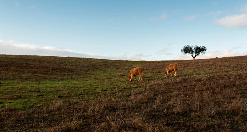
We continue on dirt roads along the mountain range, between the holm oaks and pine trees, which thickens with the height. We walk easily, without steep slopes, always through the valley of S. Miguel mountain range. On the other side, in the old Roman gold skyopen mine of Conhal do Arneiro, the Romans used to collect gold using the erosive force of water.
Tips
Always carry water, supplies, sunscreen, a hat, waterproof, comfortable shoes, and a map.
Support
![]() CTT Post Office
CTT Post Office
![]() Táxis
Táxis
Public Entities
 Vila Velha de Ródão City Council
+351 272 540 300
Vila Velha de Ródão Parish Council
+351 272 541 011
Health
 Vila Velha de Ródão Health Center
+351 272 540 210
![]() Pharmacy
Pharmacy
Points of Interest
USEFUL CONTACTS
Emergency: 112
Forest Fires: 117
GNR − National Republican Guard:+351 272 549 050
Fire Department:+351 272 541 022
CODE OF CONDUCT
Do not leave the marked and signaled route. Do not approach cliffs. Pay attention to the markings. Do not dispose of organic or inorganic waste during the trail, take a bag for this purpose. If you see garbage, collect it, help us to keep the Paths clean. Beware of livestock, don’t bother the animals. Leave Nature intact. Do not collect plants, animals or rocks. Avoid making noise. Respect private property, close gates and barriers. Don’t light fires and be careful with cigarettes. Do not vandalize the Paths signage.